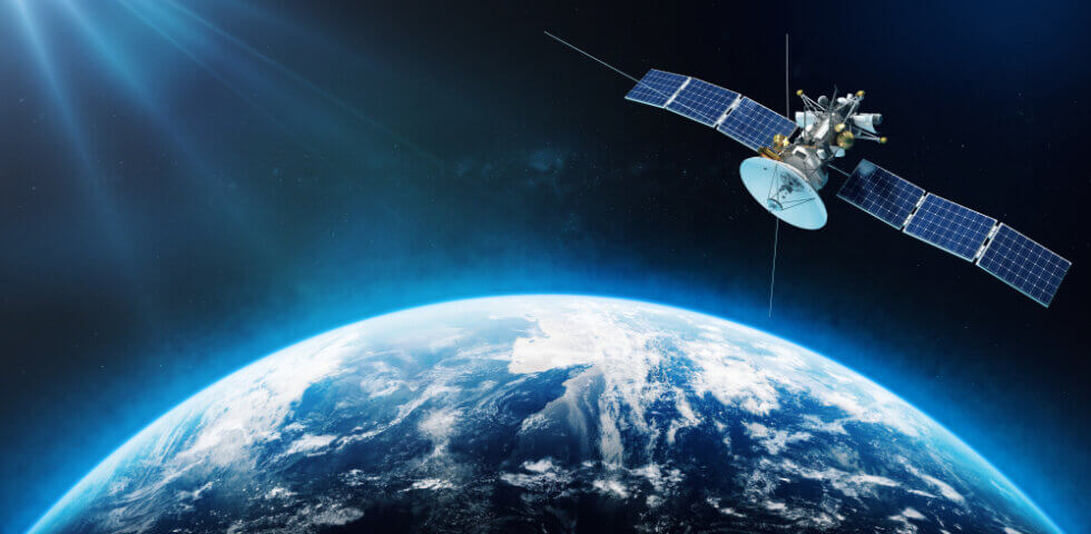
From the Department of Defense to national research institutes, organizations across the United States rely on data from space to make critical decisions about life on Earth. Through remote sensing, satellites capture data and images of the globe from above. This information makes its way back to the Earth through the process of downlinking it to a ground station, such as Quintillion’s HiLDA ground station.
Once analyzed, the information we gather from space has countless benefits, from enhancing public safety to helping businesses increase efficiency. In this blog, we’re going to explore the applications of satellite data in the U.S. and other parts of the world.
Innovative Applications of Satellite Data
The data we gather from satellites has come far in the last decade. There have been many technological advancements that enable business owners, government organizations, and other major decision-makers to get the information they need to detect issues and make well-informed decisions.
Satellite image quality has come far in the last few years, and we’ve developed more advanced ways of processing and analyzing the data we capture. Listed below are just a few of the ways we use satellite data to make decisions and solve problems on Earth.
Mitigating Natural Disasters
Satellites can help meteorologists, as well as other scientists who observe the environment, detect major changes in weather, including natural disasters. This information can be used to help discover vulnerabilities, such as areas prone to fire or flooding. Thus, decision-makers can address potential hazards and warn people before a disaster strikes.
Measuring Forestry Resources
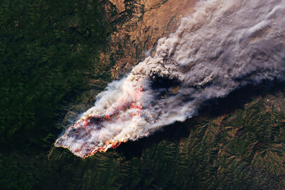
Remote sensing has a significant role in forest management, allowing both conservations and timber companies to monitor tree levels and stockpiles. Just decades ago, companies would often hire professionals to manually count trees in a given forest. Satellite technology makes it possible to track deforestation, detect plant diseases, measure the extent of a forest fire, and/or perform tree counts more efficiently.
Analyzing Ocean Activity
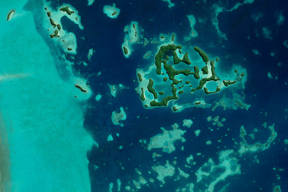
The ocean covers the majority of the Earth’s surface. Gathering significant data on the ocean would be nearly impossible without satellite data. With satellites, we can detect water temperatures, sea level, watercolor, hurricane activity, and tidal heights. We can even map out the topography of the ocean’s seafloor.
Inspecting Infrastructure
From internet infrastructure to oil fields and electrical grids, the infrastructure we use to power our world needs to be inspected frequently. Satellites provide an eye from the sky, helping detect any deformations or vulnerabilities in critical infrastructure.
With satellite data, we can detect possible manmade issues or environmental threats. Construction companies can better avoid encroaching on existing infrastructure, such as buried power lines. Organizations can also pinpoint potentially catastrophic issues, such as damaged railways or power lines.
Monitoring Crops
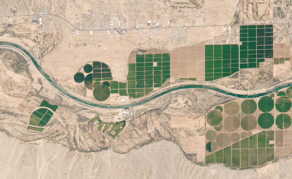
Large agriculture companies can better measure inventory and monitor their crops with satellite data. Remote sensing allows agriculturists to make key decisions more quickly and efficiently. Rather than covering acres of land on foot to monitor soil conditions, look for the spread of plant disease, perform a rainfall assessment, or calculate predicted output, farmers and food manufacturers can get this data from satellites.
Having the ability to closely monitor crops provides value beyond just a single agriculturist’s land. With satellite data and analysis, policymakers and the U.S. Department of Agriculture can get the full picture of agricultural output for specific regions or the nation as a whole. This allows us to better anticipate potential food shortages or surpluses.
Detecting Illegal Activity
Satellite imagery can help detect where certain illegal activities are occurring, such as oil spills, deforestation, poaching, or unregulated fishing. This data can not only help us discover this illegal activity but it also has the potential to aid in identifying the culprits.
We can also use information from satellites to analyze the effects of this illegal activity as it pertains to the surrounding environment and community. For example, we can detect how illegal poaching is affecting animal populations in the region. Not only that, but this data can also be used to help mitigate damage and create solutions for ceasing illegal activity.
Observing Wildlife Patterns
Wildlife conservation and research organizations frequently use remote sensing to observe and gather data on wildlife. This information can help researchers to estimate populations, track migrations, monitor endangered species, and gain insight into specific animal behaviors.
Satellite technology is incredibly useful in observing remote areas that are relatively untouched by humans. For instance, satellite imagery helped British researchers discover 11 new colonies of Emperor penguins in Antarctica, including the location of their breeding sites. The researchers discovered that these colonies existed in offshore habitats, which was something not previously observed in emperor penguins.
Researching the Effects of Climate Change
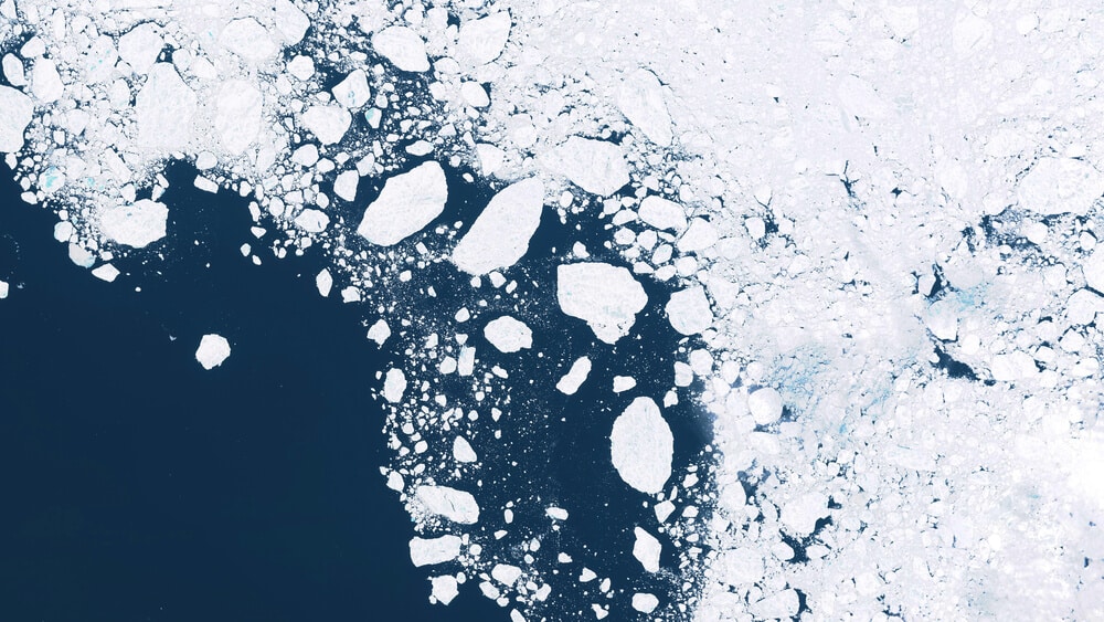
Satellite data allows humans to better observe the effects of climate change and understand how human activity affects the environment. With historical data, we can track trends over time, measure greenhouse gas emissions, monitor polar ice melting in the Arctic, detect bleaching of coral reefs, and more.
How Satellite Technology Supports National Security
The U.S. Department of Defense and Department of Homeland Security utilizes new satellite technology, data, and communication to make critical decisions in regards to keeping the American homeland safe from both foreign and natural threats.
Satellites are the most efficient way to gather imagery and data on large areas of land. Being able to see the big picture and monitor activity on Earth offers a huge advantage to government organizations, as well as the U.S. military.
To illustrate, the DoD can utilize DSP satellites. Since these satellites are built with infrared detectors, they can be used as an early warning system for missiles. The satellites can also be useful reconnaissance tools. With advanced analytical tools, there is a wealth of useful information that intelligence officers can gain from observing and analyzing satellite data and imagery.
Furthermore, communication satellites are also often used by the military, which operate in X band or Ka band frequencies. This technology is used for several applications, such as the Global Command and Control systems.
The Quintillion HiLDA Ground Station: A Safe & Secure Downlinking Solution in the US
The data we gather from satellites is key for making critical decisions on Earth. In some situations, such as when the American DoD is involved, this information is sensitive. Therefore, this data must end up in its intended location in a timely manner.
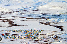
Quintillion’s HiLDA Ground Station was built to ensure this data is downlinked and uplinked safely and reliably. Located in Utqiaġvik, Alaska, this ground station is the highest-altitude ground station in the United States. It is used as a downlinking facility for polar-orbiting satellites. This strategic location reduces latency and maximizes data collection, as satellites can pass over the site several times a day.
Additionally, this ground station is located on American soil. Rather than rely on ground stations that are located in other countries, American companies and government organizations can keep satellite data within U.S. borders.
The ground station current operates on S and X bands, with Ka band frequency in planning. Furthermore, it’s connected to the Equinix SE2 International Business Exchange, which further protects satellite data and connects with other infrastructure and service providers for data processing.
Want to learn more about the Quintillion HiLDA Ground Station? Contact us for information on our GSaaS offerings.

